Article
Newsletter: July 15, 2026
Curbcut Studio is in beta, the Canadian Housing Observatory has launched, and we’ve released new dashboards for Mobilizing Justice and ESOS-C.
Dominique Boulet · July 15, 202
Spotlight
The big news
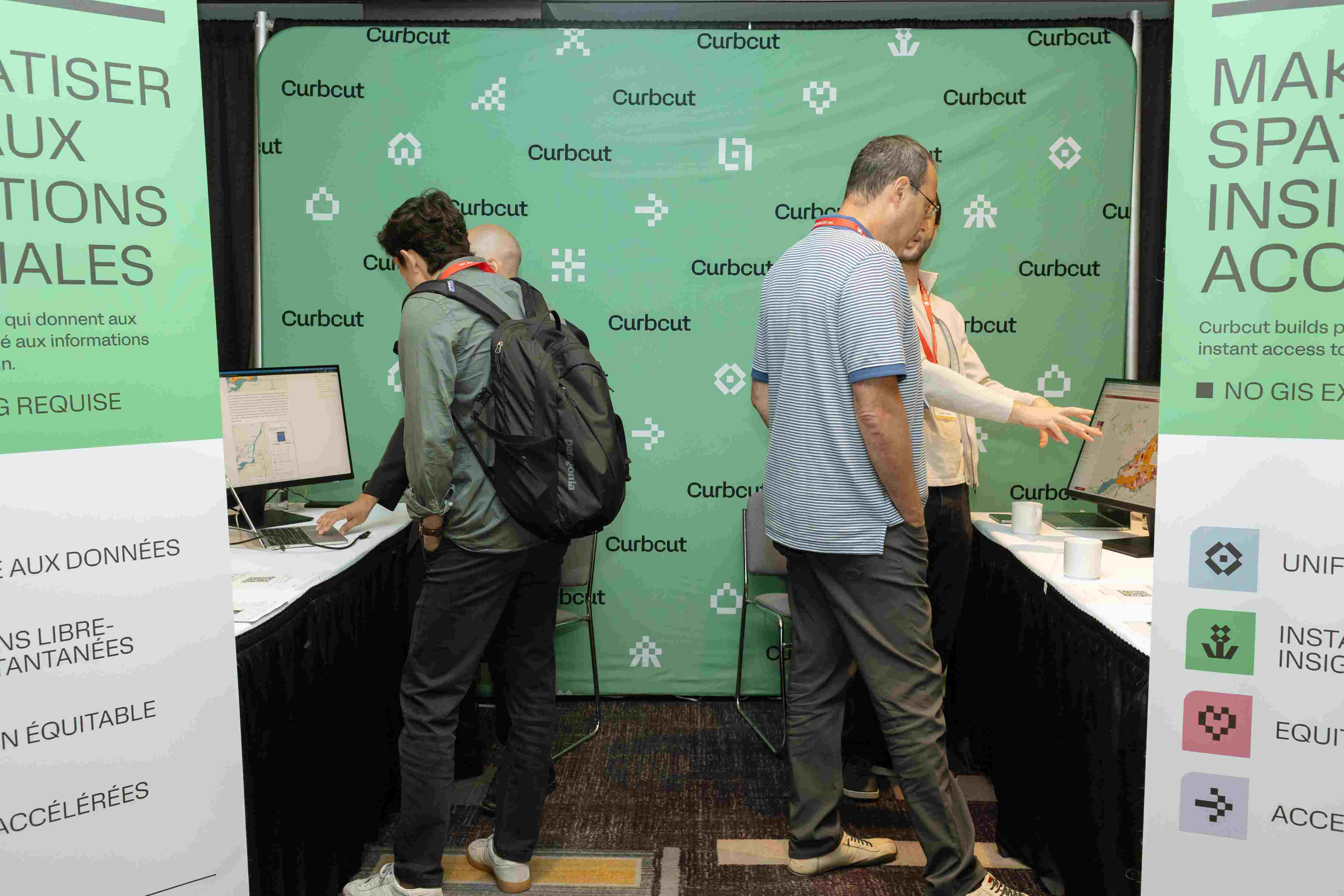
- Meet the newest addition to the Curbcut platform family: Curbcut Studio.
- Built for planning teams who need spatial insights without the technical overhead, taking you from planning question to answer in about 60 seconds.
- Search and explore hundreds of pre-harmonized indicators (demographics, housing, transit, environment, economy), filtered by geography, time period, or demographic group.
- Overlay variables, compare geographies, and let the Curbcut Assistant surface key findings and help draft report sections. Then compile everything into a shareable project page or export full reports. No GIS expertise required.
- Studio is now in Beta. Join the free trial → 14 days, full access. Beta members lock in the founding rate of $49 CAD/seat/month.
- On May 20th we officially launched the Canadian Housing Observatory. More than 120 participants representing over 60 organizations joined us for our online event! The discussion we had was highly informative and shaped some of the adjustments we’ve already made to the platform (see New Features section below!). We’re incredibly proud of this project we built with Housing, Infrastructure and Communities Canada; it’s exactly the kind of work we want to continue doing.
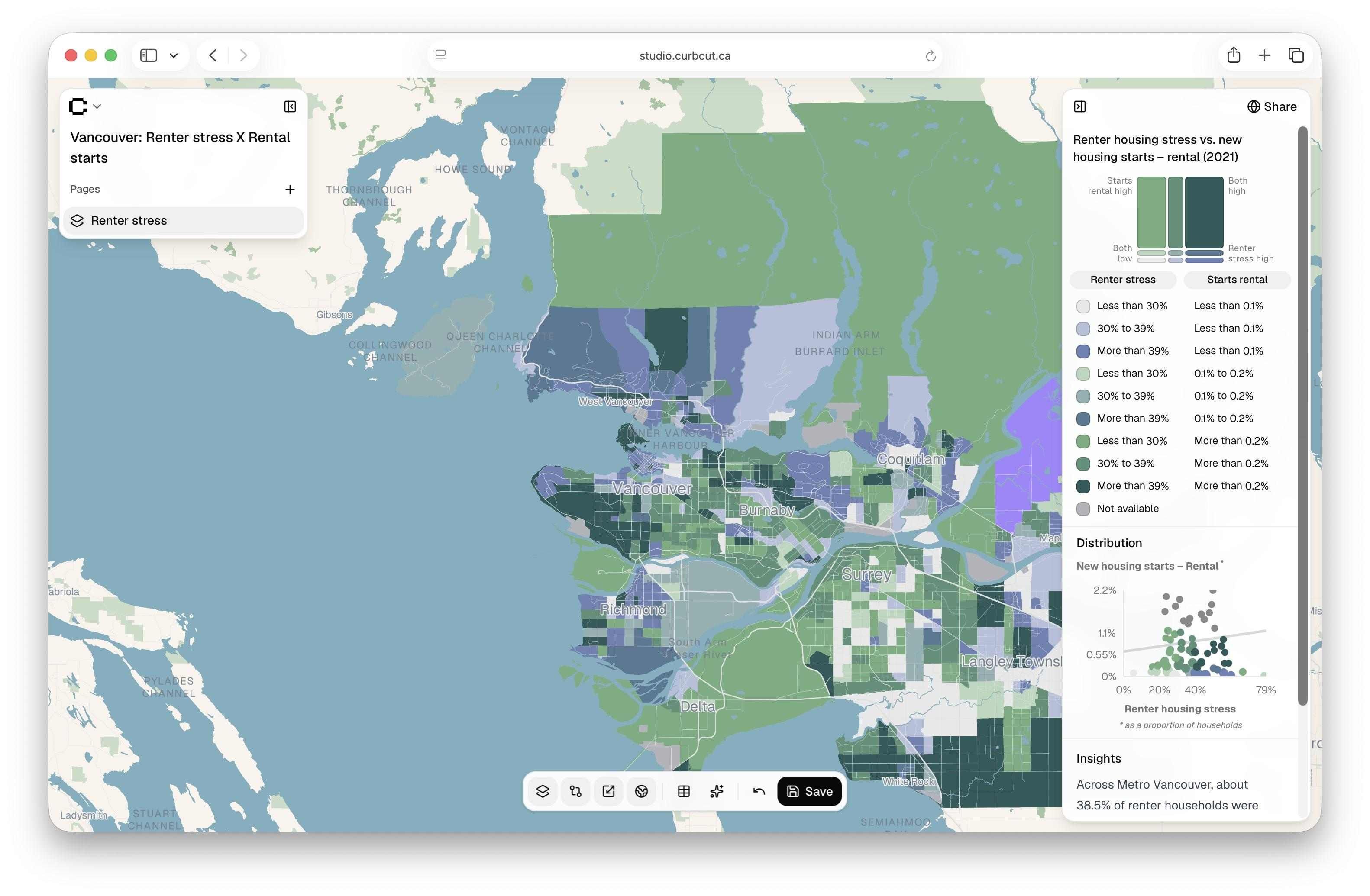
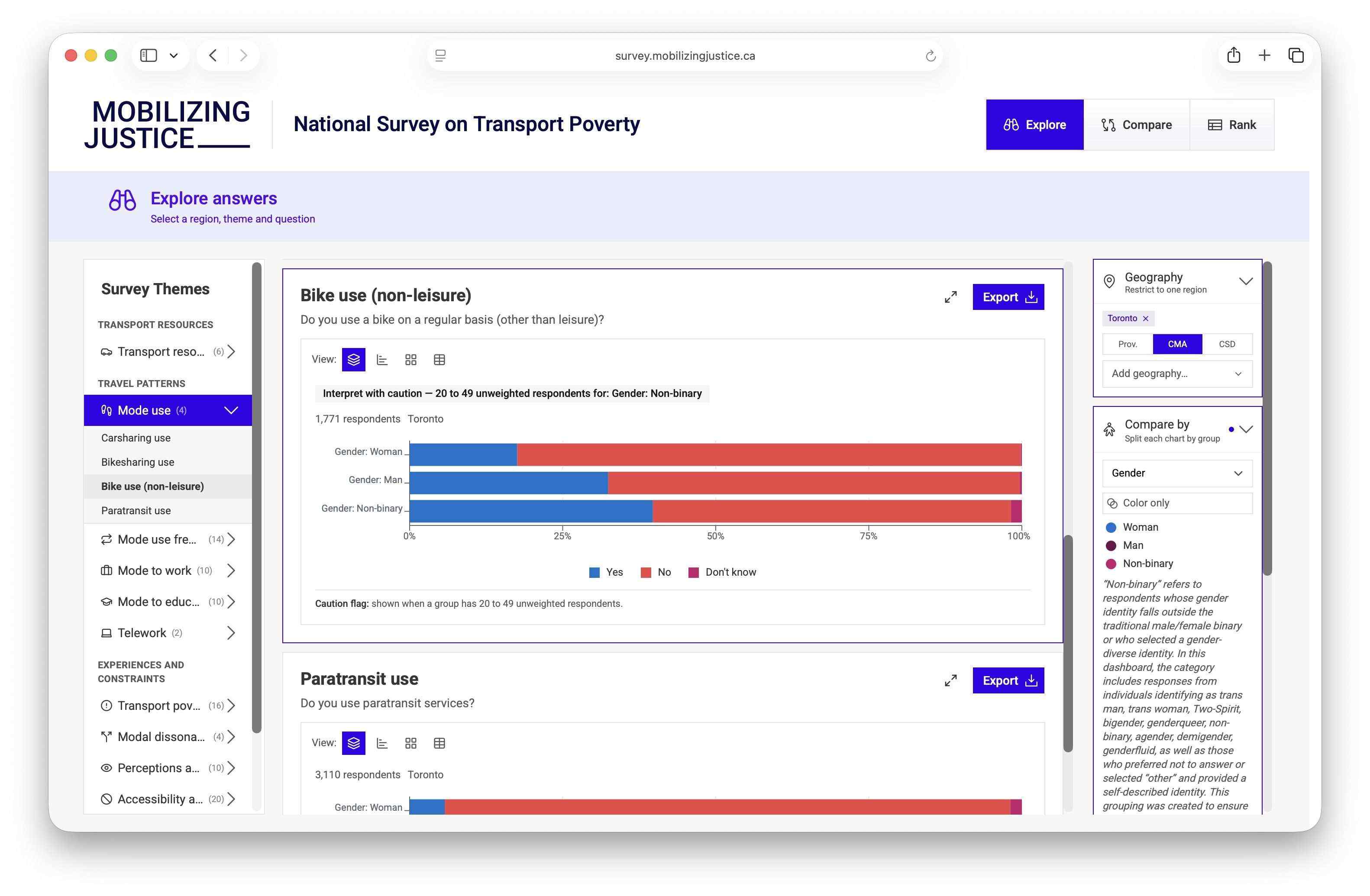
- In collaboration with Prof. Steve Farber’s team at U of T, we built a public dashboard for Mobilizing Justice that makes the data from their National Survey on Transport Poverty available to everyone. You can see how transport barriers shift across regions, population groups, and themes.
- Go check it out: https://survey.mobilizingjustice.ca/
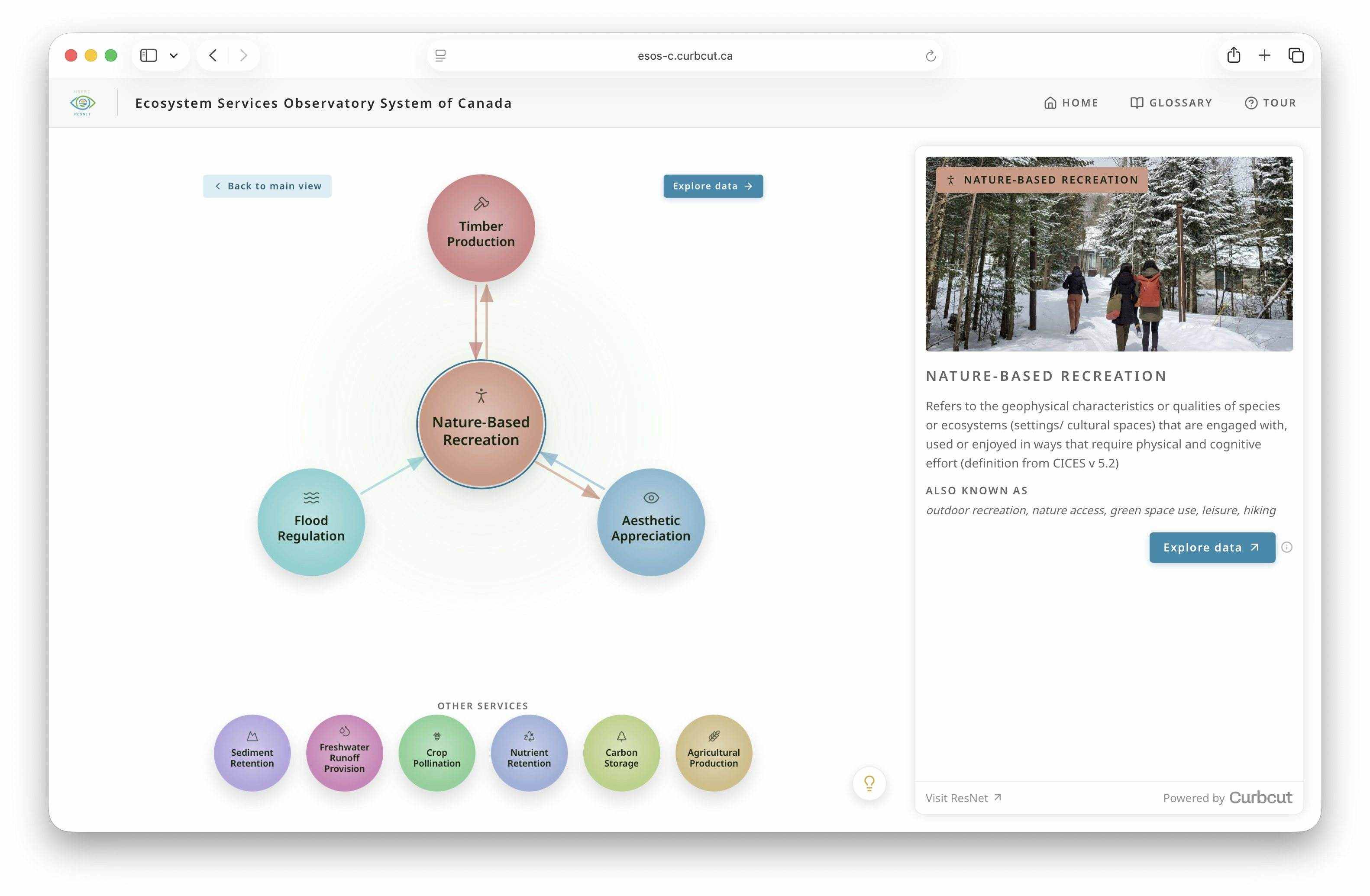
- We're excited to share ESOS-C, the Ecosystem Services Observatory System of Canada, an interactive platform that reveals how Canadian landscapes deliver everything from carbon storage to nature-based recreation, and how these services depend on one another. We built it in partnership with Prof. Elena Bennett’s ResNet network, a national research network monitoring and modelling ecosystem services across the country.
- Explore the dashboard: https://esos-c.curbcut.ca/
New features
The team is constantly improving the Curbcut experience
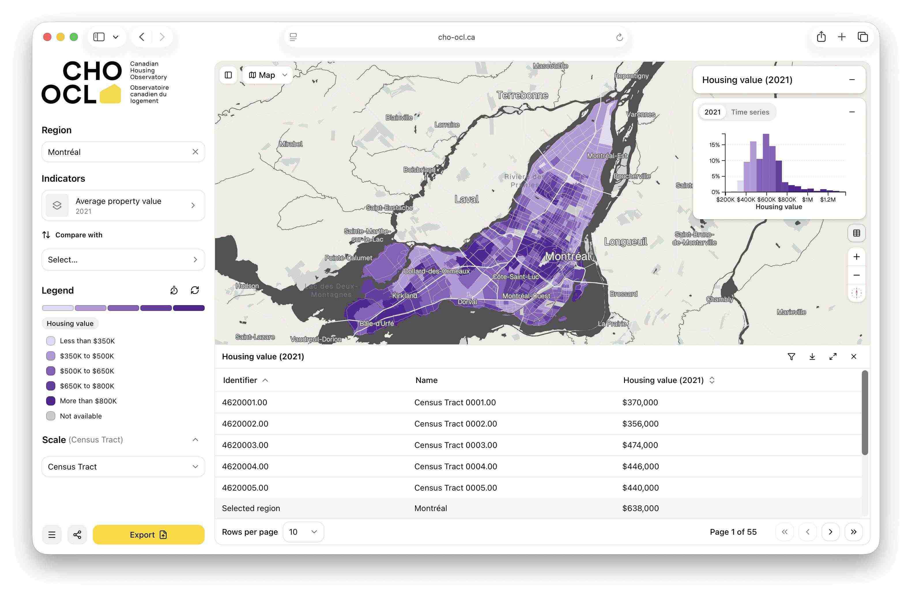
- Split-screen table & map view
- After receiving some feedback on CHO, we now have a side-by-side layout that pairs the map with a sortable data table, so you read the underlying data and see them visualized on the map at the same time.
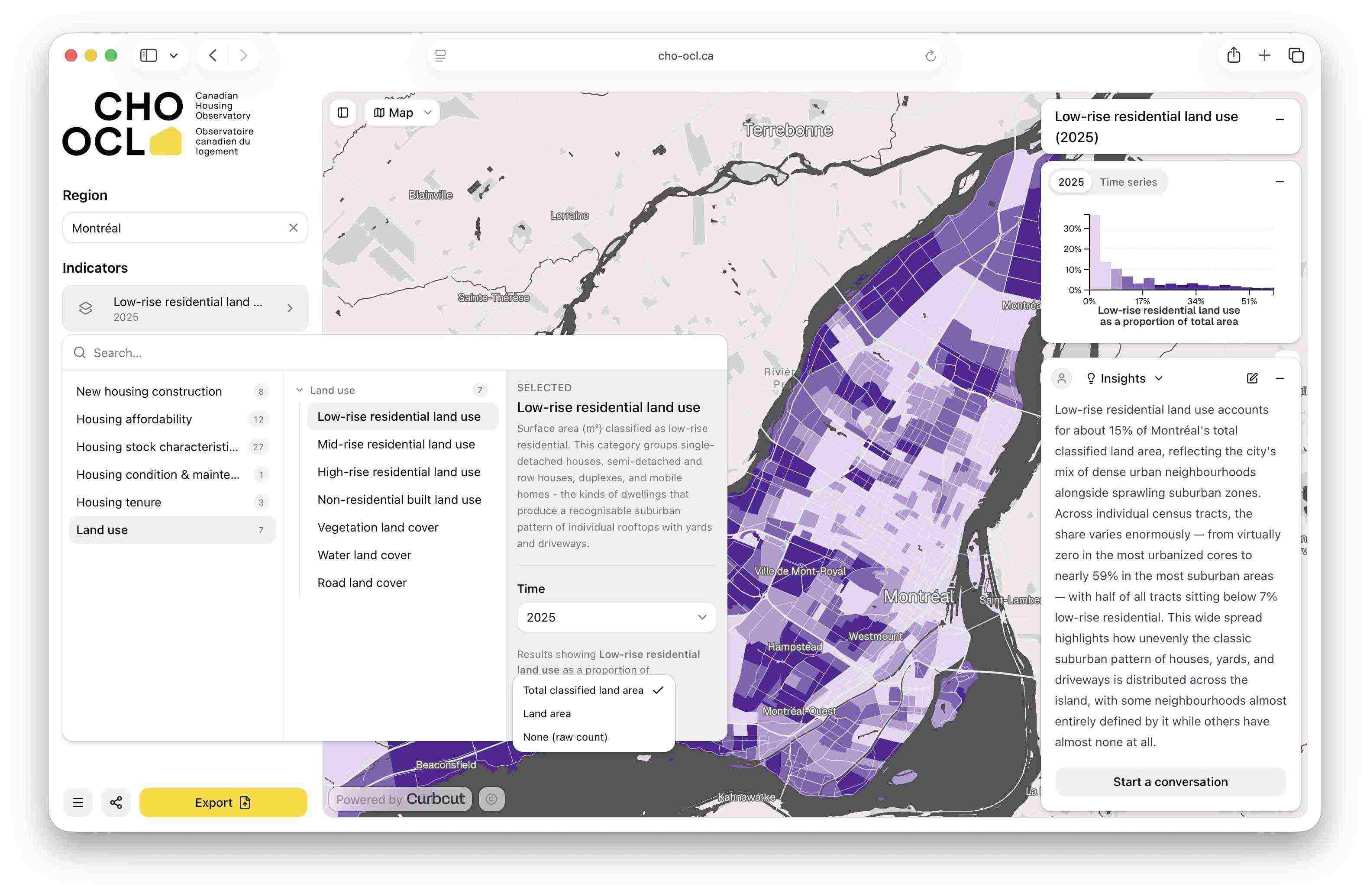
- New zoning data on CHO
- See how land is used across Canada’s major cities, classified into low-, mid-, and high-rise residential, non-residential, and non-built land. These Curbcut datasets are generated by analyzing satellite imagery and combining it with Census housing information, producing a detailed, building-level picture. Coverage spans 11 metropolitan areas, with data reaching back to 1990 in some regions!
Organizational updates
What's going on in and around Curbcut
- The Curbcut team continues to grow. We’re excited to welcome Jacob Hopper to the team as a Data Engineer! Jacob builds the pipelines that turn messy, multi-source urban data into something usable - the kind of behind-the-scenes work that makes our platforms possible.
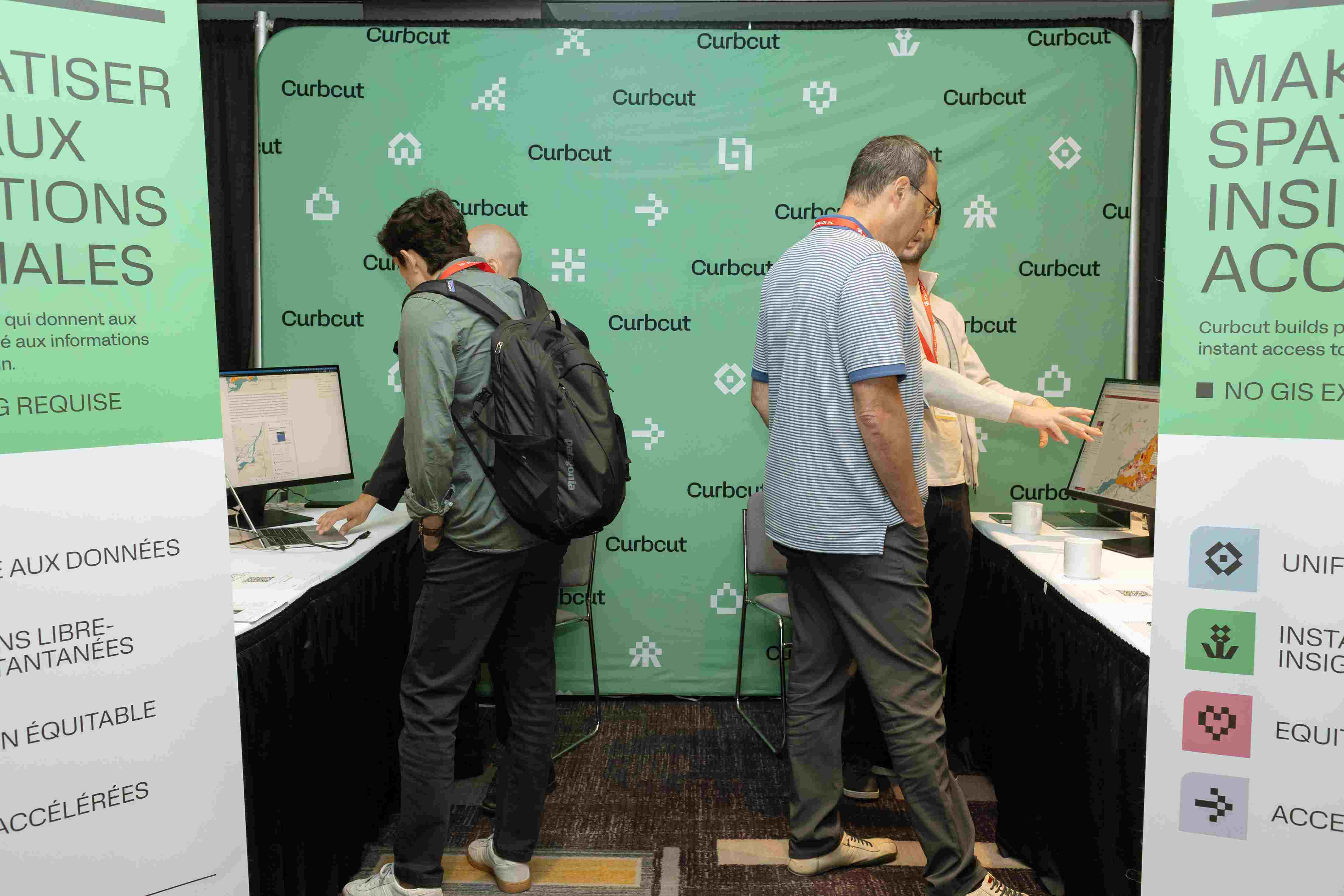
- We attended FUSION 2026, Canada's National Planning Conference, in our home city of Montreal! As the largest gathering of planners from across Canada, it's the kind of room we love to be in; full of people working to make communities more inclusive and resilient.