Curbcut Studio
Sign inFrom planning question to answer in a few clicks.
Curbcut Studio gives planning teams self-serve access to hundreds of spatial indicators. No GIS expertise required.
Curbcut builds data platforms for these organizations across Canada.








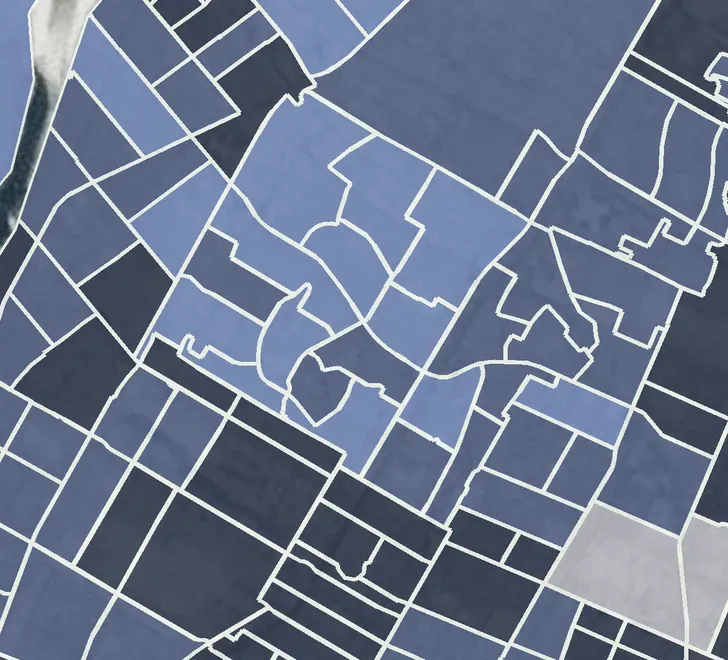
Commute by transit
Montréal · Census tracts
Explore
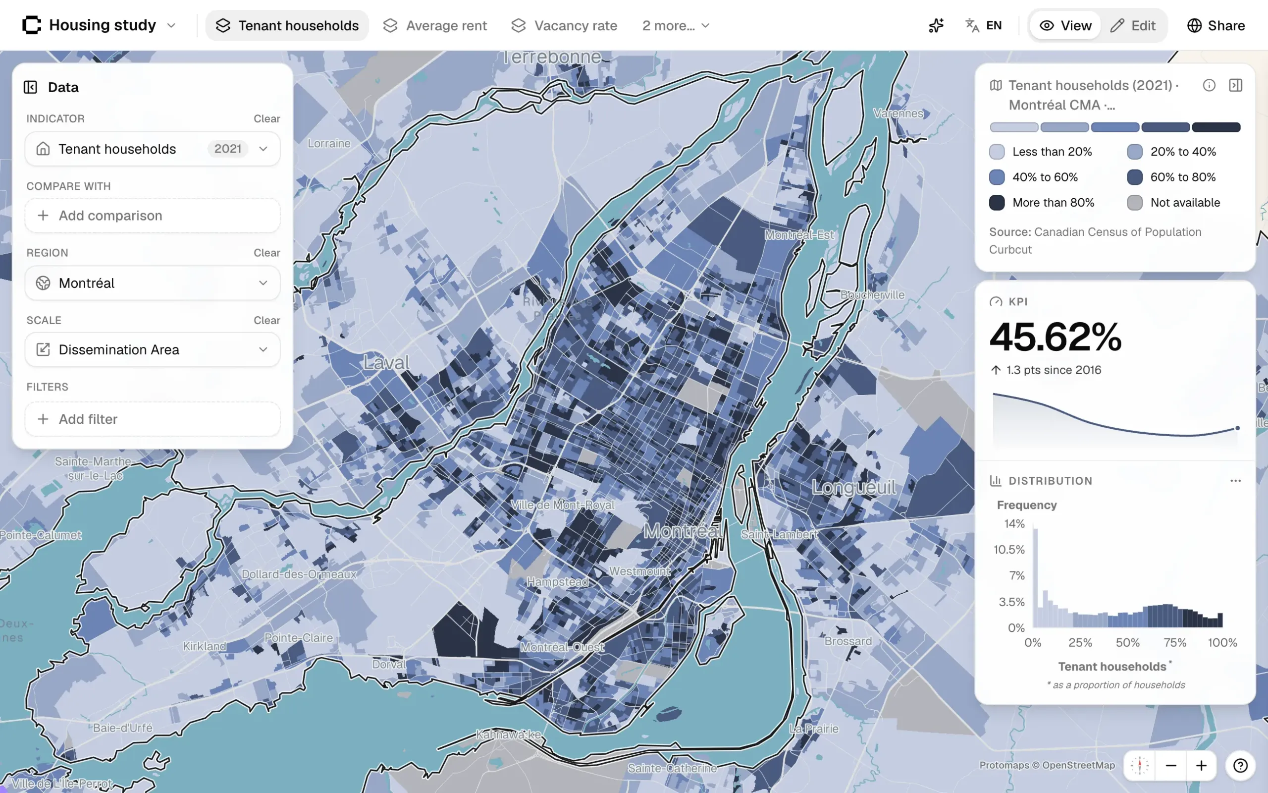
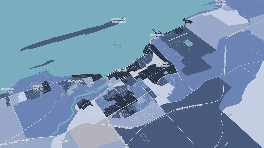
Pick an indicator and see it across your region, from the whole area down to a single block. No GIS needed.
Households in core housing need
12.8%−1.4 since 2021
Build
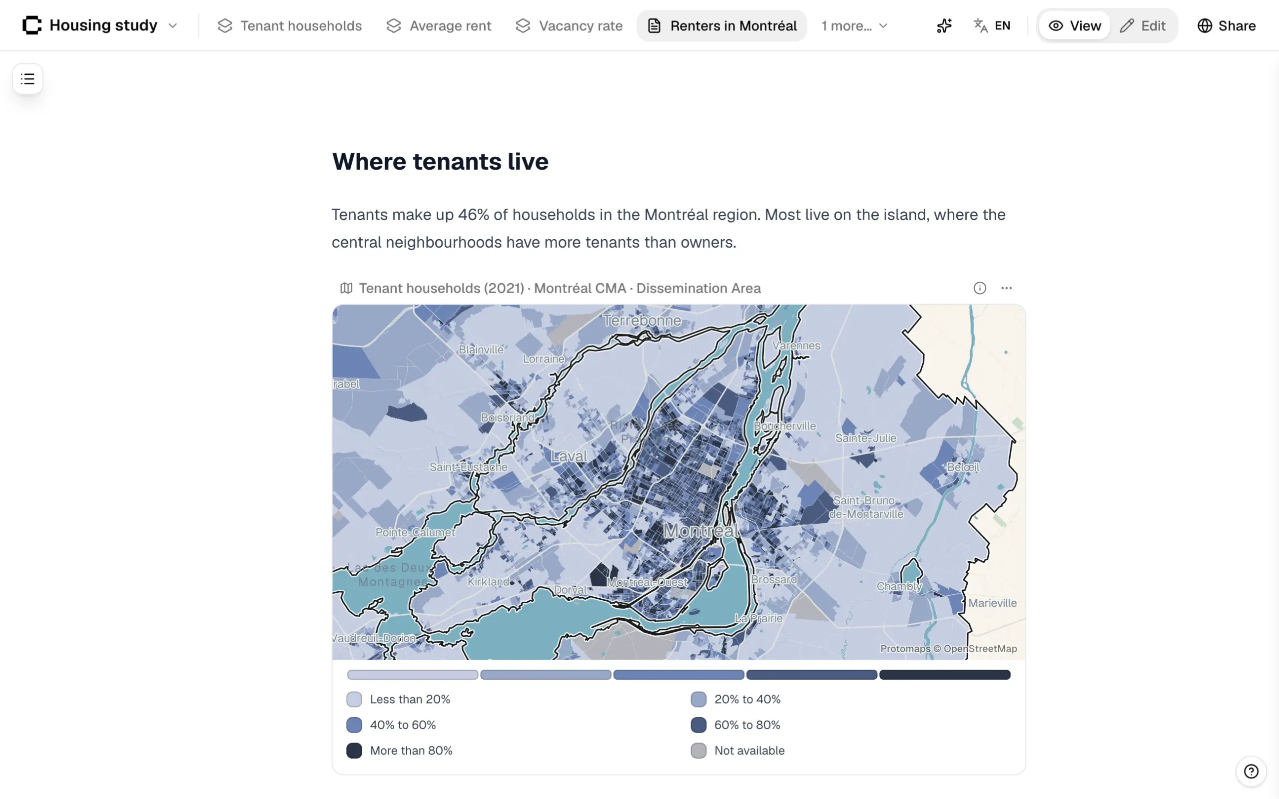
Turn what you find into dashboards and reports with live charts. Ask the assistant when you’re not sure where to start.
yourcity.studio.curbcut.ca/housing
Housing in our region, 2026
Share
Publish to your own web address, embed it on your site, or export to PDF and Word. In English and French.
Features
What you can do in Curbcut Studio.
Map hundreds of indicators
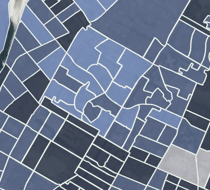
Browse by theme and map any indicator, from a whole region to a few blocks.
Ask the Curbcut Assistant
Ask a question in plain language. The assistant sets up the map for you.
Add your own data
Upload a spreadsheet and map it next to Curbcut’s indicators.
Build a dashboard
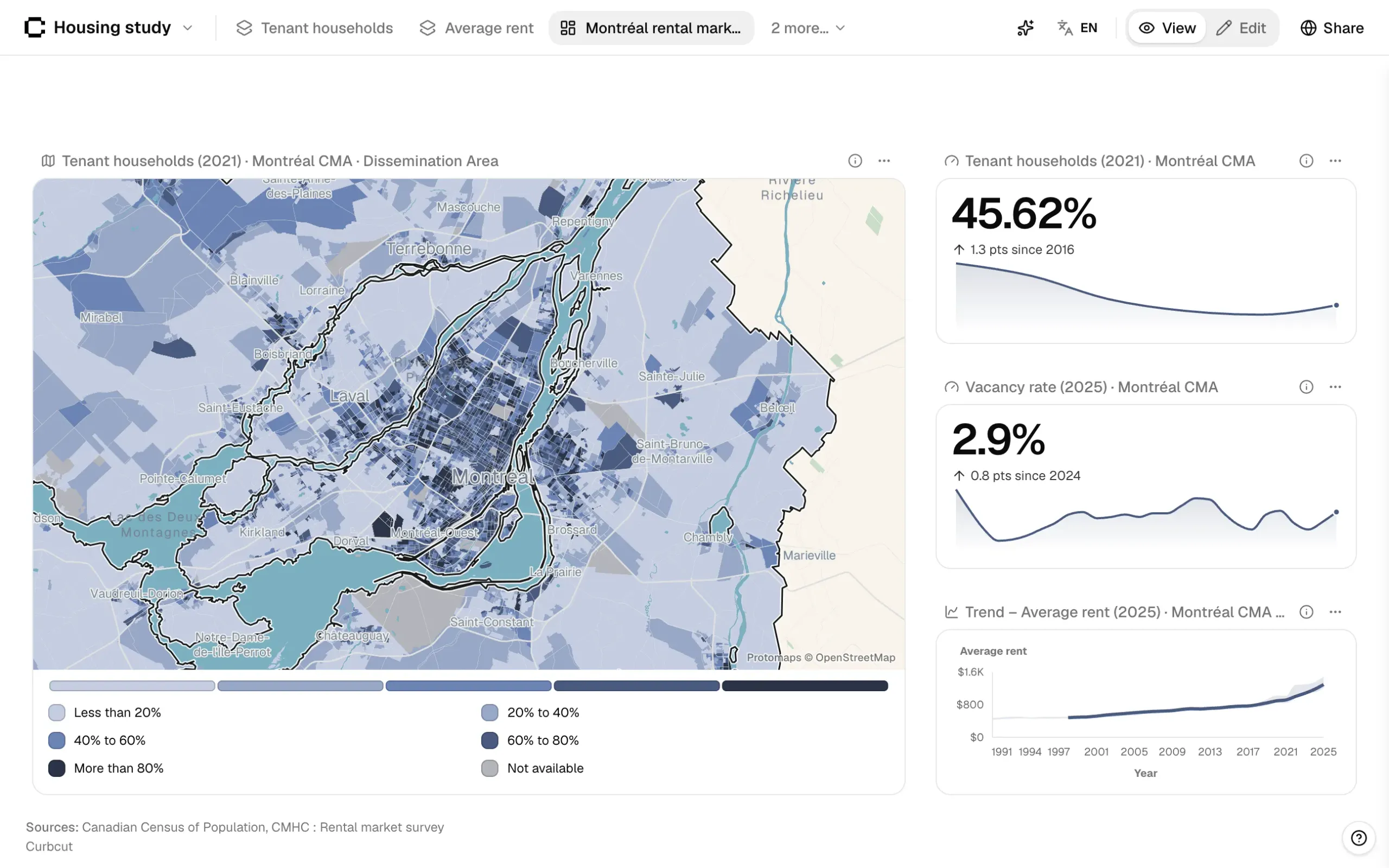
Put maps and charts from several pages side by side on one grid.
Publish or export your work
Share a public link, or export to PDF, Word or PNG.
The details.
How Curbcut Studio handles languages, access, sources and hosting.
- English and French
- Curbcut Studio, the Curbcut Assistant and your published projects work in both languages. Each person picks the language of their interface.
- Owners, members and guests
- Owners manage billing and publishing, while members create and edit projects. Invite a consultant as a guest to share one project without the rest of your work.
- Single sign-on
- Sign in through Microsoft Entra, Okta or any SAML or OpenID Connect provider. Your IT team can require it for everyone at your domain.
- A source on every indicator
- Open an indicator’s glossary entry to read its definition, source and method.
- Exports for print
- Export a map as a PNG or PDF at print resolution, with its legend and your logo.
- Hosted in Canada
- Your projects and data are stored on AWS in Montréal and encrypted at rest.
Changelog
Recent changes to Curbcut Studio.
Latest
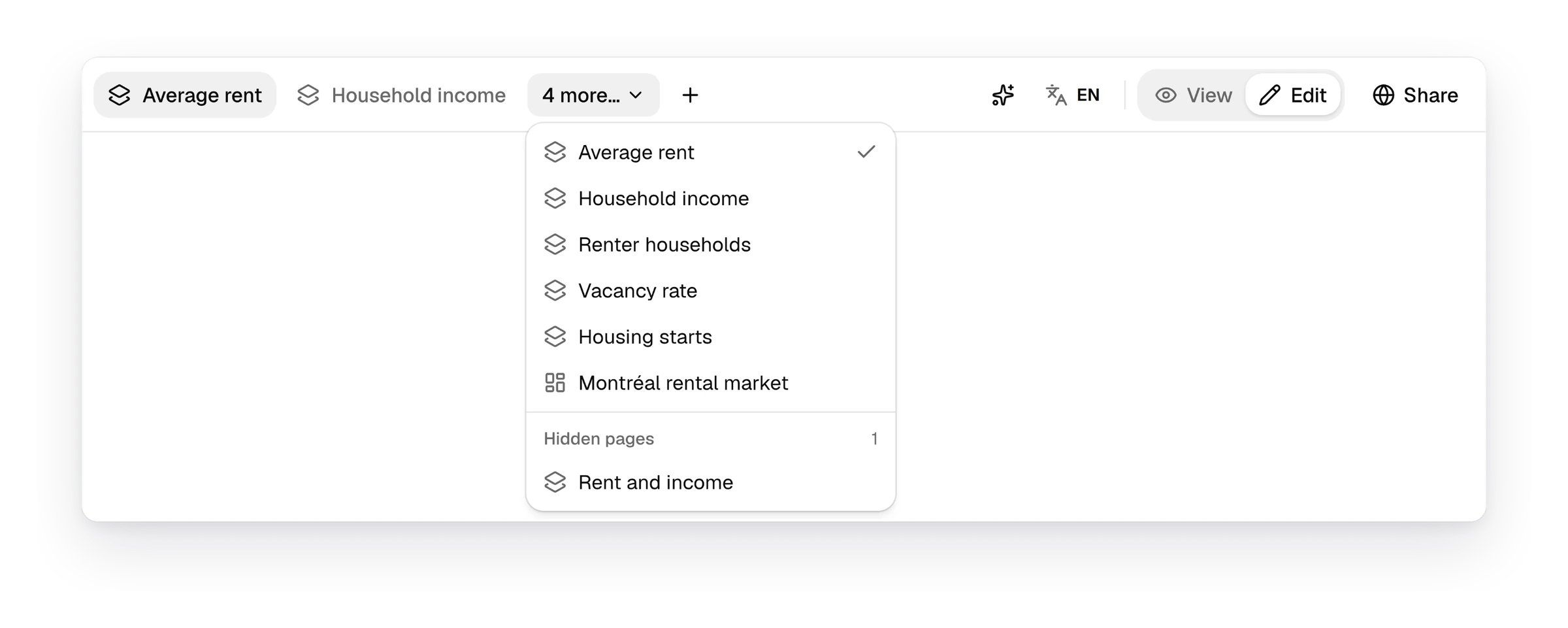
Project pages as tabs
A project's pages now show as tabs across the top bar, and any data table downloads as an Excel file with its sources.
Read more- New · 2026-11-02IndicatorsMetro areas and smaller regions offer dissemination blocks, and hide scales of a single area
- New · 2026-11-02IndicatorsA "View updated" notice says when Curbcut Studio changes your scale or comparison
- New · 2026-11-02DataAccessibility maps credit their destinations' sources and describe each destination type
Pricing
Fitted to your team.
Reach out to build a plan that works for you.
Frequently asked questions.
Something else on your mind? Ask us during your demo.