Government
Curbcut gives government teams on-demand access to the spatial insights needed for evidence-based decisions, from housing policy to climate action, without dependence on GIS specialists.
Our web platforms enable governments, researchers, and civil society to make decisions informed by geospatial data — for more sustainable, just, and inclusive communities, no GIS expertise needed.
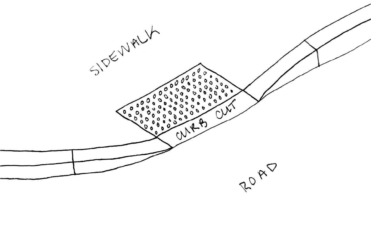
A curb cut makes sidewalks accessible to everyone. We do the same for spatial data.
We build platforms that transform how organizations access spatial insights, removing barriers between people and the information they need to understand and shape the world around them.
We are a team of urban planning and geospatial experts with an aspiration to create more sustainable, just and inclusive communities.
Learn more →Curbcut gives government teams on-demand access to the spatial insights needed for evidence-based decisions, from housing policy to climate action, without dependence on GIS specialists.
Curbcut gives planning and consulting firms a ready-made geospatial evidence base, so they can deliver deeper analysis to their clients faster, without building data pipelines from scratch.
Curbcut enables research groups to connect their work to national geospatial datasets, cross-reference across domains, and share findings to support open research dissemination.
Curbcut equips civil society organizations with the same quality spatial insights available to governments and consultants, so their advocacy is grounded in evidence, without requiring a technical team.
Curbcut makes spatial data easy to access, download, and understand, empowering citizens to engage with their communities and take part in civic life from a position of knowledge.
All sources in one interoperable platform, unlocking billions of spatial and temporal relationships.
Users access information intuitively, freeing GIS/data teams for strategic work.
Non-experts explore spatial insights as easily as GIS specialists.
Accurate, compatible, and comprehensive data accelerates decision-making time across the board.
A core Curbcut innovation, our Databridge seamlessly connects datasets, breaking down silos to enable meaningful cross-analysis.
Non-specialists explore geospatial data and uncover insights as easily as GIS professionals.
Our data bridge connects high-quality geospatial indicators from diverse sources, discoverable across space and time, no data engineering required.
While most web mapping tools struggle under large data loads, Curbcut renders billions of data points instantly.
Our data curation and design are driven by public interest, enabling communities to make more sustainable, just and inclusive decisions.
Tell us about your work and what you're after. We'll show you how Curbcut turns billions of data points into spatial insights your whole team can use.