Field notes, research, and product stories from the Curbcut team: on walkability, accessibility, mobility, housing, and making spatial insight accessible.
Article · 31 Aug 2026
How We Mapped 35 Years of Housing Development and Land Cover Change in Canada
Curbcut mapped 35 years of housing development and land cover across 11 major Canadian metro areas using satellite imagery, census data, and machine learning.
Walkable neighbourhoods support everyday physical activity, mental well-being, and social connection. Curbcut's Active Living Potential Index lets us measure them.
From snow-clearing in Sweden to Montreal's origin-destination surveys: why mobility data under-counts women's travel, and how Curbcut's methods help close the gap.
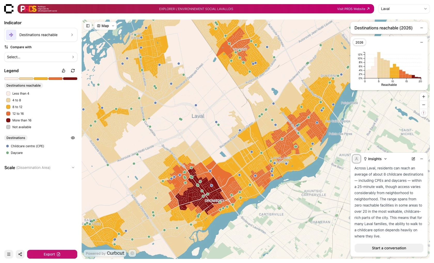
The PRDS de Laval commissioned a customized Curbcut platform to visualize complex urban data and the connections between social and environmental issues.
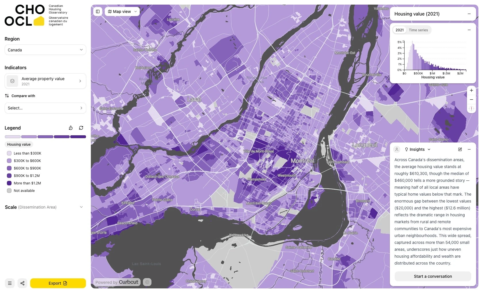
Curbcut’s open-access Canadian Housing Observatory, funded by Housing, Infrastructure and Communities Canada, makes national housing data explorable on an interactive map.