Curbcut
All work

Open dataset

Municipal zoning data

Client
Housing, Infrastructure and Communities Canada
Years
2026

Zoning shapes what can be built and where, but every municipality encodes it differently and the data is rarely available in a consistent, analysis-ready form. As part of NASH+, Curbcut assembled and standardized municipal zoning data so it can be compared and modelled across jurisdictions.

This work underpins land-use and housing-supply analysis, letting models reflect the real regulatory constraints that determine where new homes can actually go.
More projects

See all work
  • PRDS de Laval2023–present

    Curbcut Laval

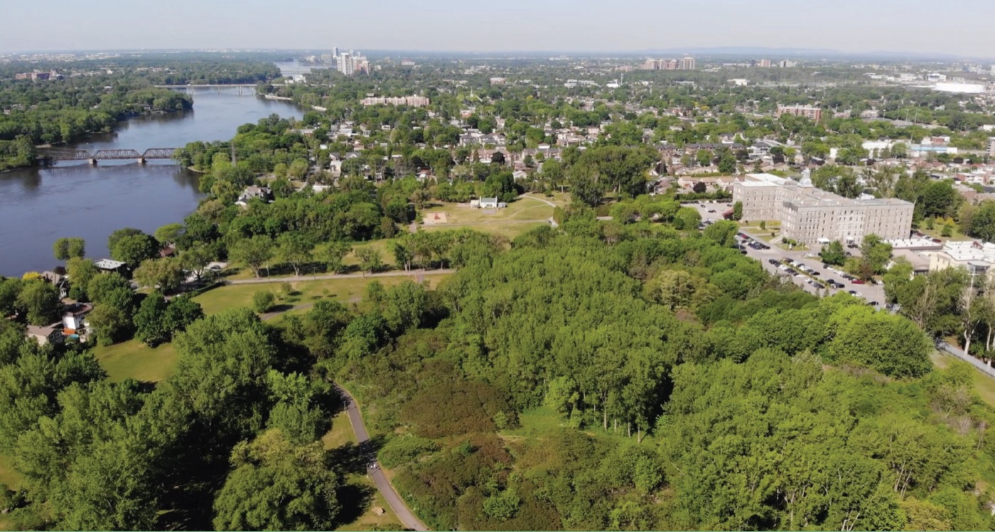
    The PRDS de Laval commissioned a customized Curbcut platform to visualize complex urban data and the connections between social and environmental issues.

  • Housing, Infrastructure and Communities Canada2026

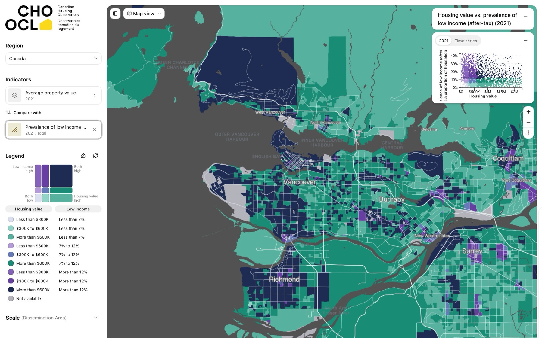
    Canadian Housing Observatory

    Curbcut's open-access Canadian Housing Observatory, funded by Housing, Infrastructure and Communities Canada, makes national housing data explorable on an interactive map.

  • NSERC ResNet2026

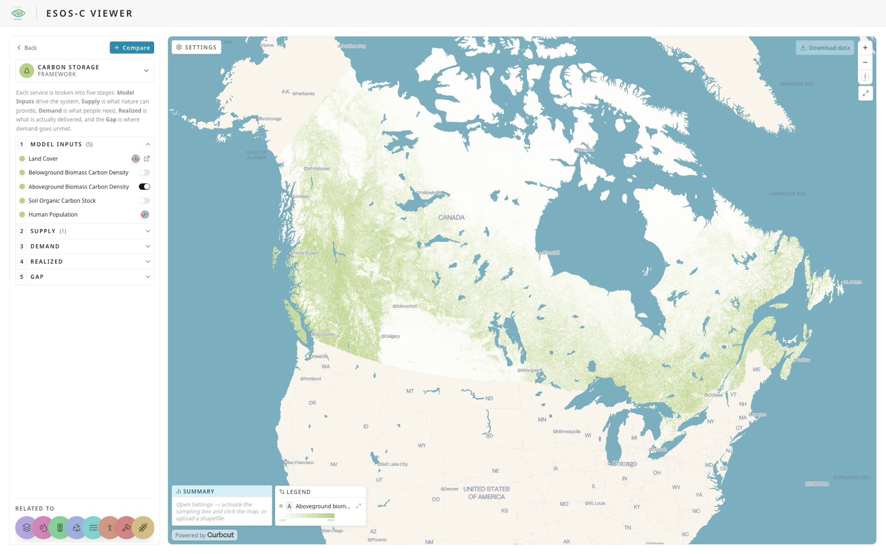
    Ecosystem Services Observatory (ESOS-C)

    The front-end for NSERC ResNet's Ecosystem Services Observatory System for Canada (ESOS-C), making complex ecosystem-service models explorable by everyone.

Get in touch

Wherever your community is, we can map it.